Few words
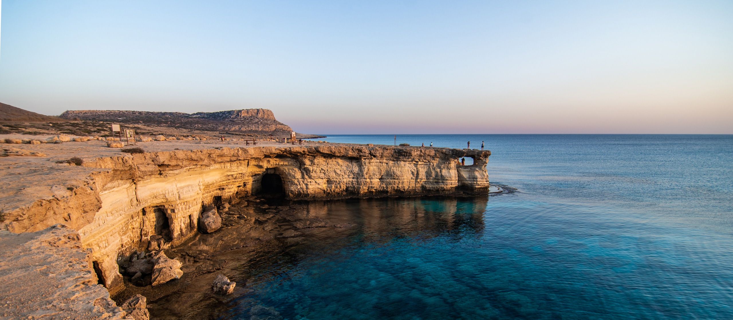
There are 9 Cape Greko nature walks for hikers and people that simply come just to enjoy the splendour of the area. The rocky promontory on the south-eastern coast of Cyprus, east of Agia Napa and south east of Protaras, is an area of unspoiled natural beauty that has been declared a National Forest Park and conservation area and covers … an area of 385 hectares.Hike along the network of nature trails lined with miniature pine trees and juniper stopping to admire spectacular views from sea cliffs overlooking turquoise seas.
Agioi Anargyroi Trail
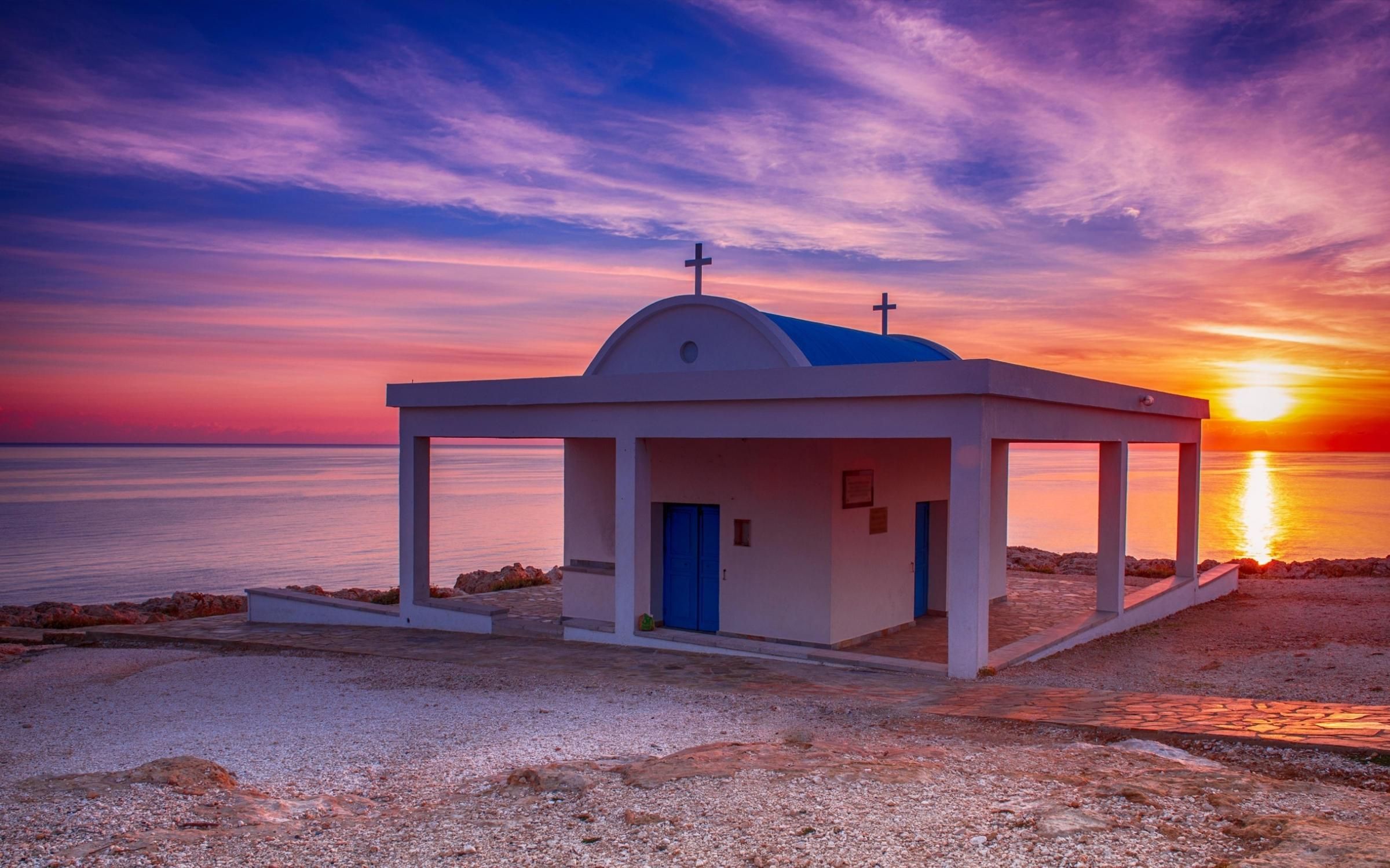
On the hiking, however remarkable, trail Agioi Anargiroi, we can observe the prosperity of the Phoenician wild juniper. On the specific trail there is a camping site. Additionally, you have the chance to visit mote nature…
Agioi Anargyroi-Sea Caves Trail
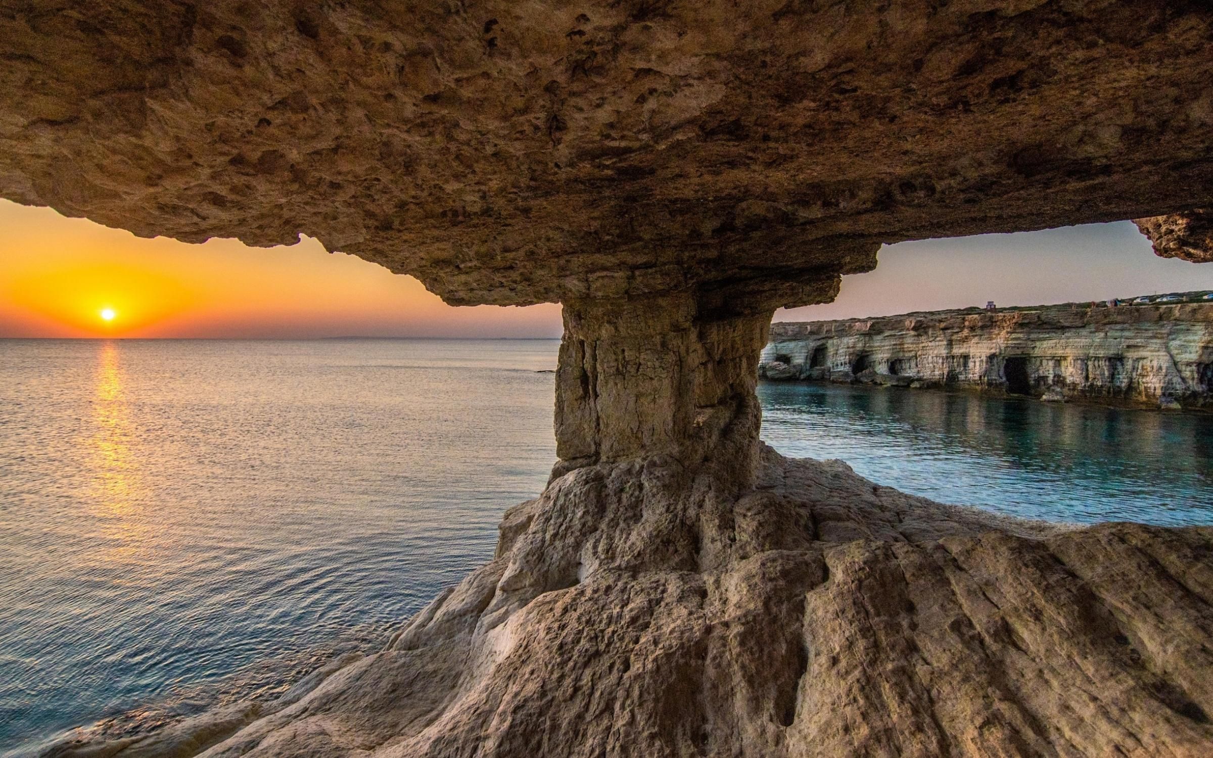
Agioi Anargiroi – Thalassines Spilies (Sea Caves) nature trail is located in Agia Napa of the Cypriot province of Famagusta. Characterised as easy and does not require any precious hiking experience…
Kavos Trail
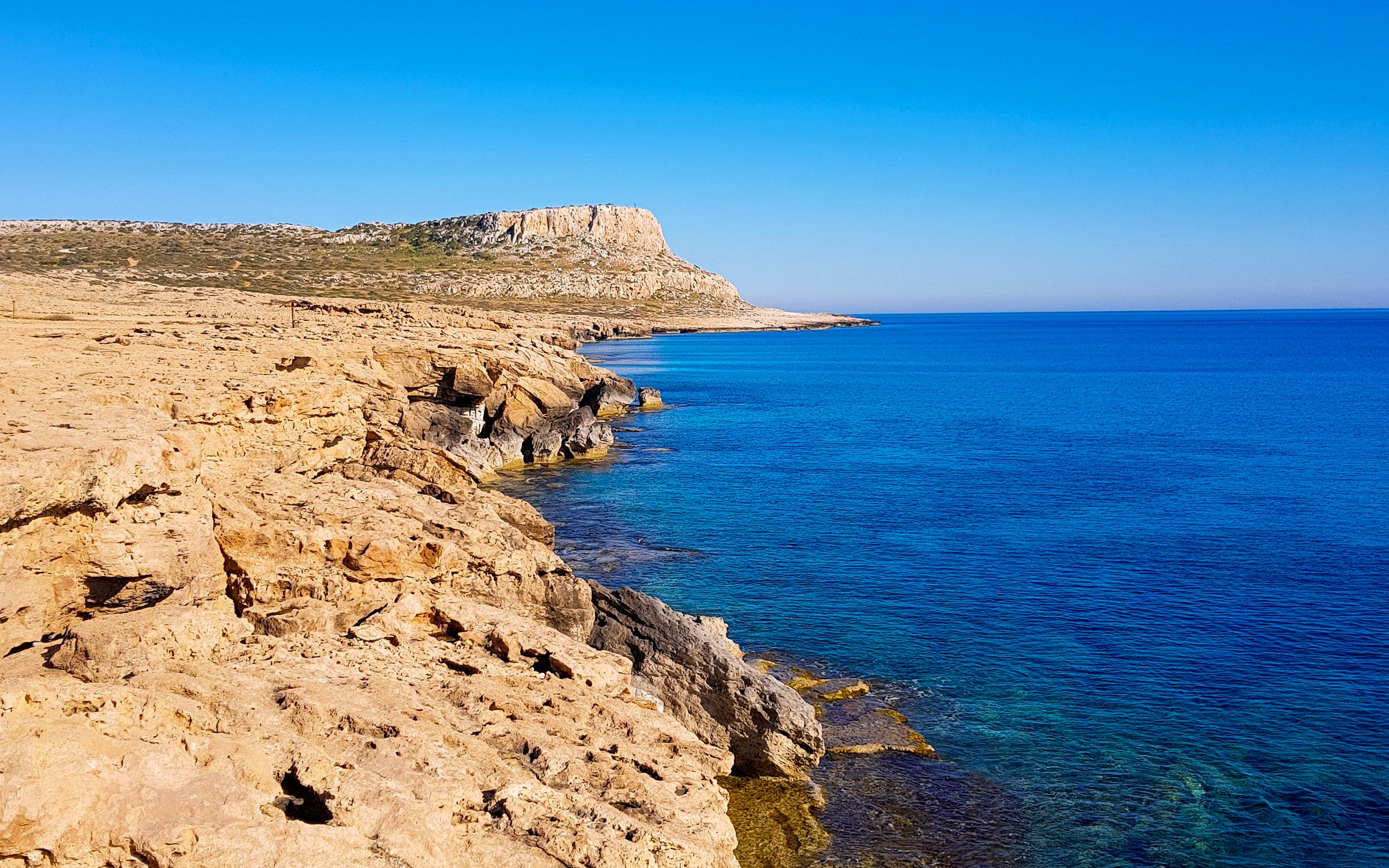
A wise saying says ”To get to know a place you must walk it”. Even if Cyprus seems small it is the third largest island of the Mediterranean. It includes 10.000 years in its environmental morphology and history.
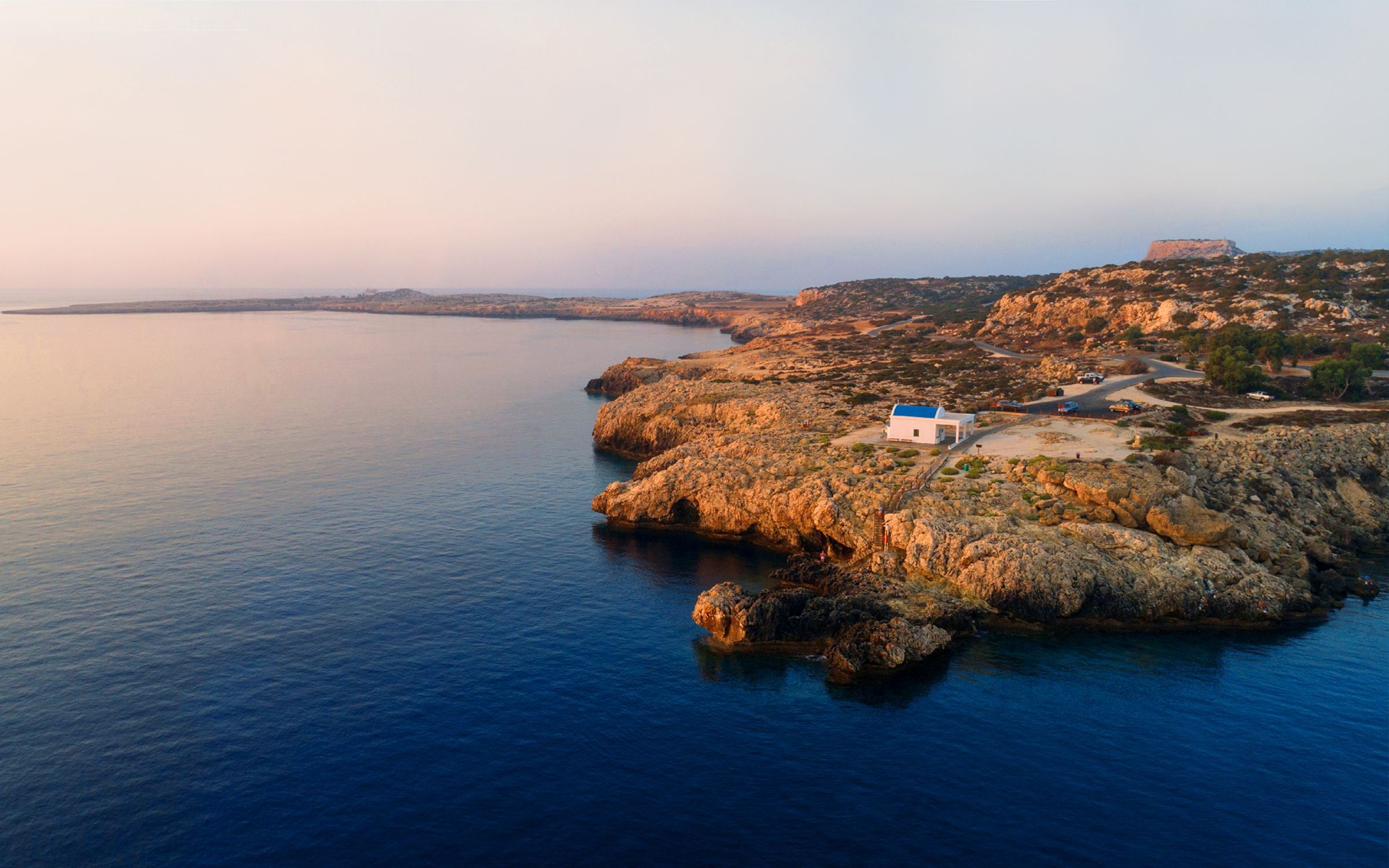
Konnoi – Agioi Anargyroi Trail
On the rocky promontory of Cape Greco, on the southeast coast between the tourist resorts of Ayia Napa and Protaras, lies a 385-hectare pristine beauty spot that was designated a National Forest Park and Nature Conservation Site in 1993.
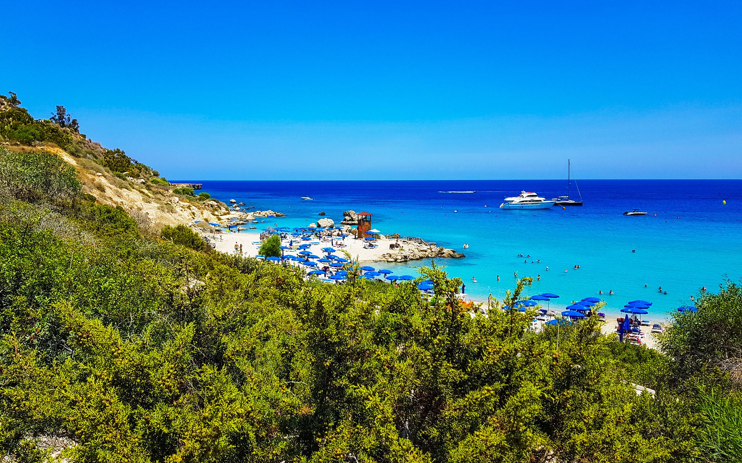
Konnoi – Cyclopas Cave Trail
The short in length nature trail begins at the Konnos beach parking space, it is 1,7km linear coast and it lasts 45 minutes. Located in the Famagusta region, at the Cavo Greko National Park.
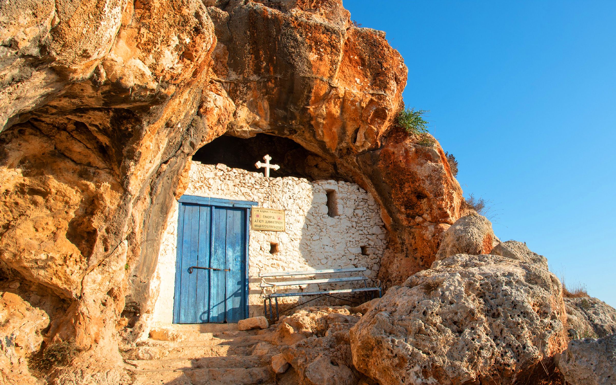
Panagia – Agioi Saranta Trail
The Panagia – Agioi Saranta nature trail is classified as a low difficulty hiking trail, with smooth ground without steep turns and is 300km away from Protaras. It is suitable for all ages and seasons.
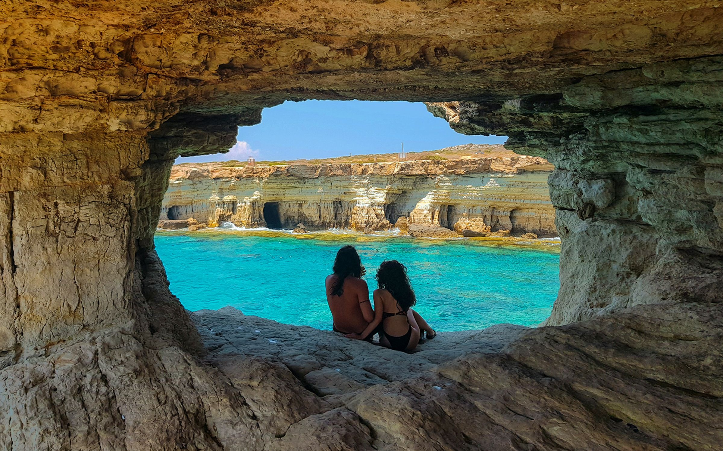
Sea Caves Trail
If you are one more Odysseus looking for sea adventures the Sea Caves Nature Trail is the perfect one for you. You will find it on the east side of the island.
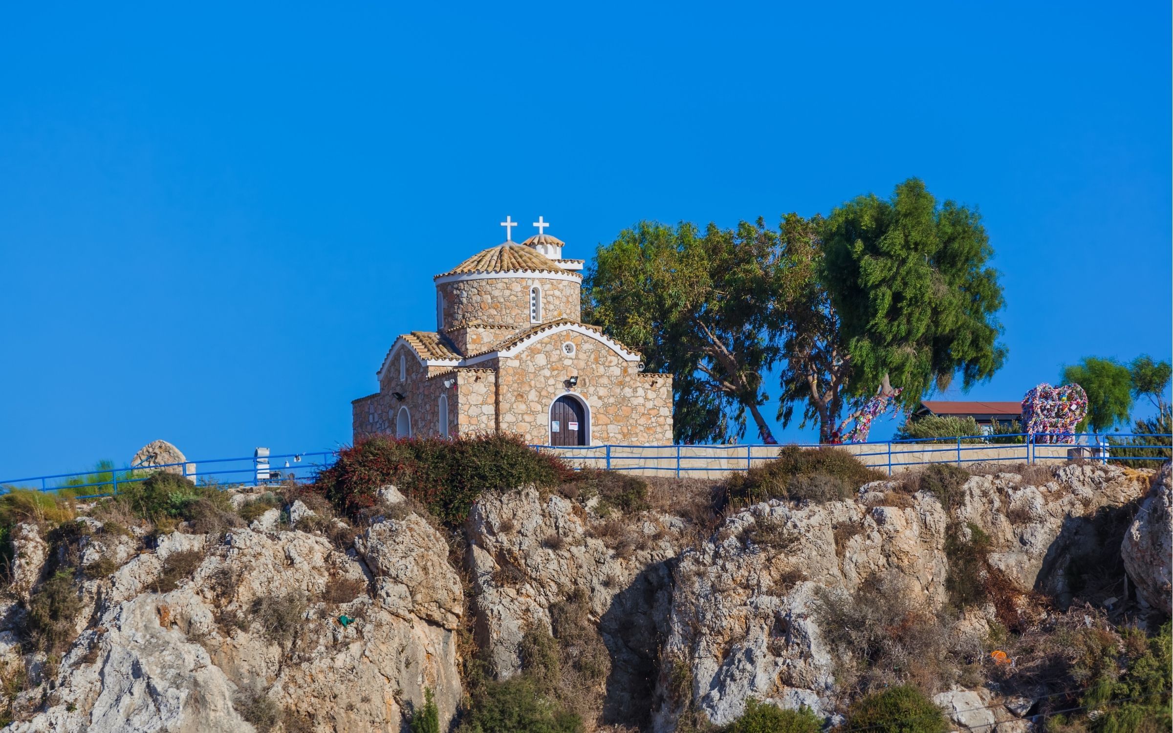
Profitis Elias – Konnoi Trail
The Prophitis Elias – Konnoi nature trail is a pleasant surprise for nature lovers and hikers. It is multi-leveled, sometimes easier sometimes harder. The starting point is the chapel of Prophitis Elias in Protaras.
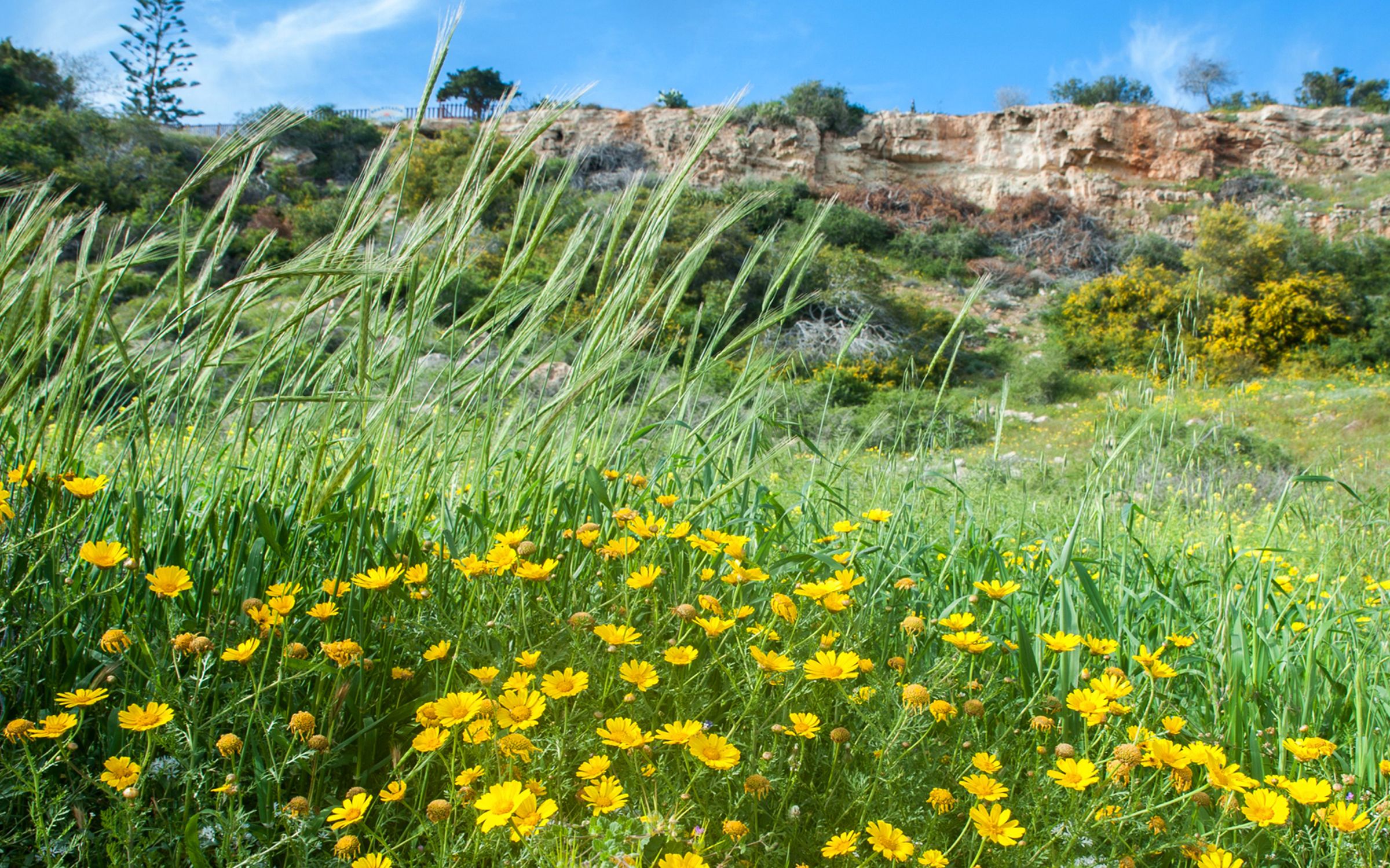
Panagia – Agios Ioannis Trail
A second nature trail on the same spot as Panagia- Agioi Saranta is the equally short and connected to it Panagia -Agios Ioannis trail. It is a trail distinguished for its peace and tranquility as the Churches and the sea dominate between it.
 Cities/District
 Monasteries
 Unesco Churches
 Food & Drink
  Limassol to Nicosia
 Famagusta to Machairas
 Kourion to West Akamas
 Hotels
 Villas
 Agrotourism Accommodations
 Flights
 Rent a Car